
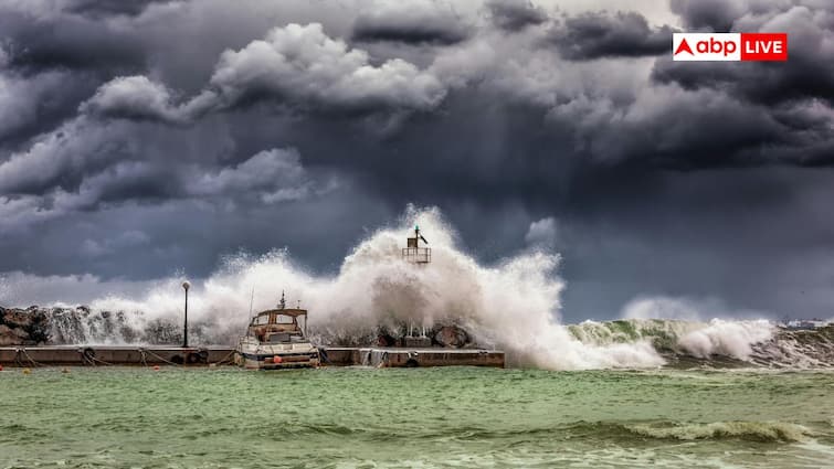
In 2025, on one hand, Cyclone Montha is active in the Bay of Bengal, while on the other hand, Hurricane Melissa is also active in the Atlantic Ocean. Both are powerful ocean storms, which are creating destructive conditions like strong winds, torrential rains and possible floods. When a storm of wind rises over an ocean and starts tearing the sky with its speed, the question arises that what is its strength? This is not just a matter of fear or guesswork, but its strength is determined scientifically.
Every storm has its own ‘class’, which tells whether it is going to bring light rain or submerge the entire city. Let us know how the strength of a storm is estimated.
How to measure the strength of a storm
Scientists around the world use two major scales to measure the strength of hurricanes, the first is the Saffir-Simpson Hurricane Wind Scale, which is mainly applicable to the Americas, the Caribbean and the Atlantic Ocean. The second is the V-scale, which has been adopted in India, the Bay of Bengal and the Arabian Sea areas.
What is the Saffir-Simpson Hurricane Wind Scale?
This scale ranges from 1 to 5 depending on the maximum sustained wind speed of any storm. In Category 1, the wind speed is around 119 to 153 kilometers per hour, it can cause minor damage. In Category 2, winds reach 154 to 177 km/hour. In this, roofs can blow away, trees can break. From Category 3 (178–208 km/h) the damage becomes serious. Category 4 (209–251 km/h) and Category 5 (above 252 km/h) are the levels where everything turns into disaster. This scale not only gives an idea of the speed of the wind but also its impact i.e. possible property damage.
Varicel used in India
The India Meteorological Department (IMD) uses the varicella scale to measure the strength of storms. This scale is also divided into five categories – from V1 to V5. V1 represents the mildest storm, while V5 is the most dangerous. Storms in the Bay of Bengal and the Arabian Sea are measured on this scale. The idea behind this is that the marine conditions and climate in these areas are different from those of the western oceans, so a different parameter was necessary to suit local conditions.
How are data collected
Scientists estimate the center of the storm and its wind speed with the help of satellite images, weather buoys and aerial surveys. The data received from radar shows the direction and speed at which the winds are moving. This data decides in which category the storm will be placed.
Also read: Delhi Cloud Seeding: Did Delhi government fail in getting cloud seeding done, know how much money was wasted?