
Meteorologists of the US National Oceanic and Atmospheric Administration (NOAA) have predicted Atlantic hurricanes to be calmer than normal this time, due to El Nino. Due to El Nino, there is a 55 percent chance of below normal activity and a 10 percent chance of above normal activity.
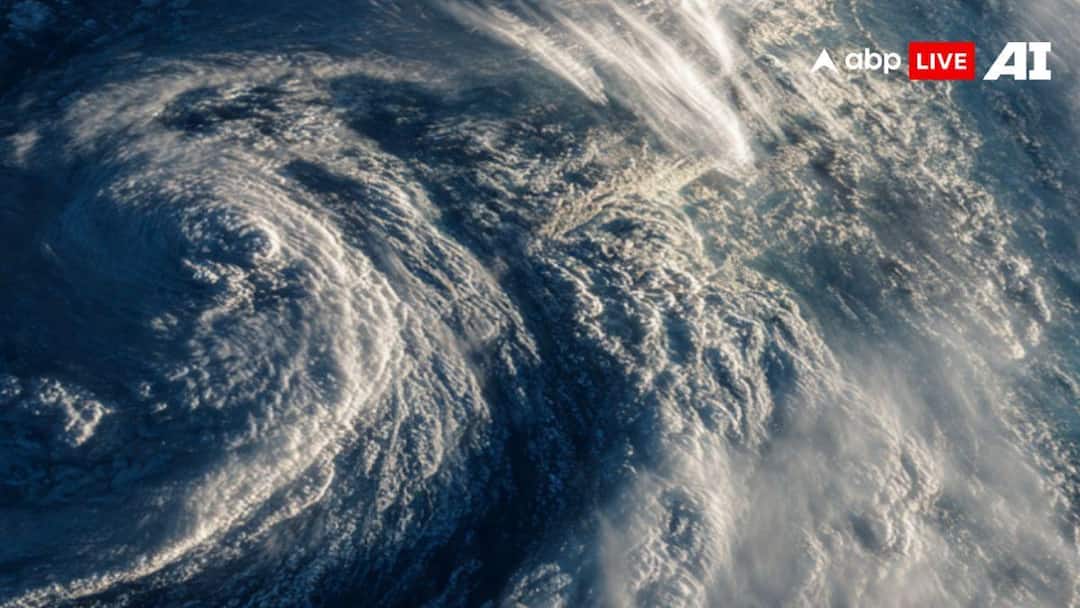
The Atlantic hurricane season runs from early June to November 30, with a peak in hurricane activity in mid-September. El Nino is a periodic warming of sea surface temperatures in the central and eastern Pacific Ocean, causing disturbances in rainfall systems that can increase the intensity of floods, droughts and heat waves in many parts of the world. This seasonal phenomenon increases the global average temperature during its active phase.
What happens during El Nino
El Niño events typically occur every 2 to 7 years and typically last 9 to 12 months. Its opposite form is ‘La Nina’, which means the temperature of the Pacific Ocean is cooler than normal. During El Nino, the winds weaken or change direction, causing the warm waters of the Pacific Ocean to flow back east toward the coasts of the Americas. This reduces the activity of Atlantic hurricanes, while increasing the activity of hurricanes in the Pacific Ocean.
Even though El Nino originates in the Pacific Ocean, it affects the entire world. Due to this, India, Australia, Southern and Central Africa, and the Amazon Basin will face severe heat and forest fires. Heavy rains and floods may occur in some parts of America, especially the southern part. More heat may be seen in North America.
How much impact will it have on India?
El Nino will have a direct impact on India. This can make the heat last longer. There may be less rainfall than normal during the monsoon season, due to which crop production will reduce and prices of food items will increase. Temperature is already increasing in India due to climate change.
read this also
Storm and rain in Delhi-NCR, fire will rain from the sky in Bihar-UP, know the weather condition this week.