
The World Meteorological Organization (WMO) has issued a major climate warning for the world. The organization says that the sea water in the Pacific Ocean is becoming warmer than normal, due to which an El Niño situation is being created. This may affect the world’s temperature and rainfall patterns in the coming months. Due to this, weather related events like extreme heat, heavy rains, floods and drought may increase in many countries.
According to WMO, temperatures are likely to be above normal in almost all parts of the world from June to August 2026. According to the organization’s El Nino/La Nina update, there is an 80 percent chance of El Nino forming between June and August 2026. The probability of it continuing till at least November 2026 is said to be 90 percent or more. Although there remains some uncertainty about its peak strength and exact timing, most weather models suggest it will be at least moderate and possibly quite strong.
Also read: PAF Aircraft Crashed: PAF training aircraft crashes in Pakistan! Two killed, two pedestrians injured in accident
What did Antonio Guterres say about El Nino?
United Nations Secretary-General Antonio Guterres said in his video message that science clearly shows that El Nino is going to come with about 90 percent probability. He said that the world should consider this as a serious climate warning because the effect of El Nino on the already warming earth will make the situation more difficult. According to him, its effects will be more serious and it will affect beyond the borders of many countries. He said that the best solution is to take fast and effective steps to deal with climate change, reduce dependence on fossil fuels, promote renewable energy and strengthen the system of providing timely warnings to the people.
Statement by WMO Secretary General Celeste Saulo
WMO Secretary General Celeste Saulo said the world needs to prepare now for a possible strong El Nino. He said that due to this, incidents of both drought and heavy rains may increase in many areas. The risk of heatwave will also increase both on land and sea. They reminded that the 2023-24 El Niño was among the strongest El Niño events on record and played a significant role in the record global temperatures of 2024.
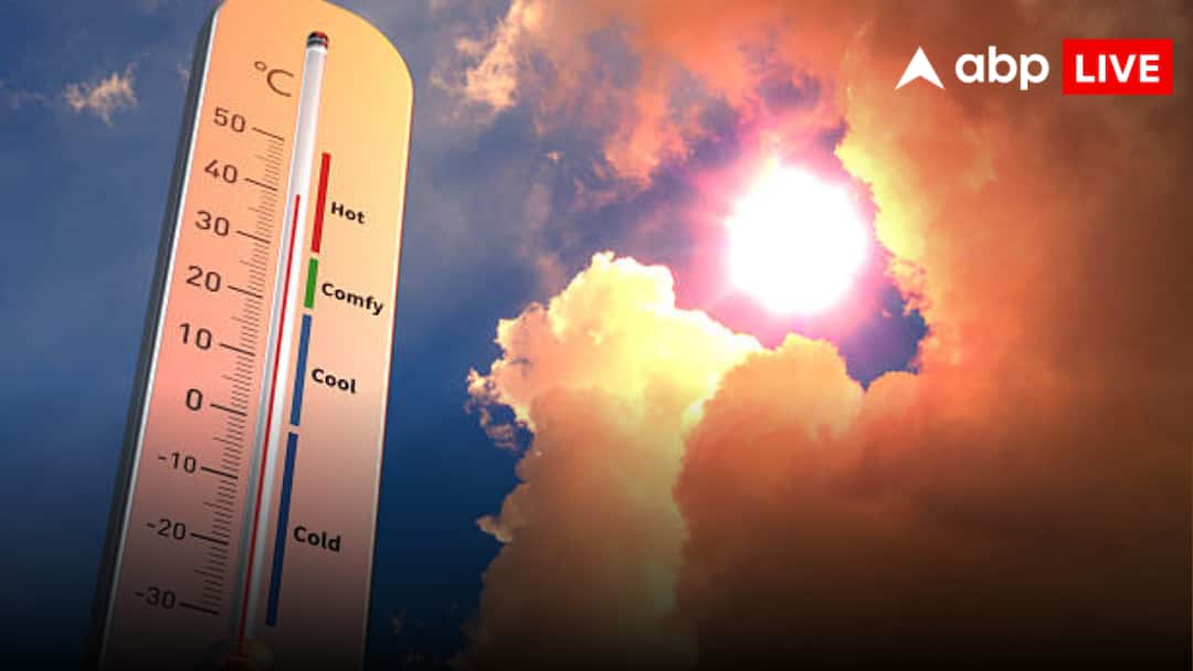
Sea surface temperature is continuously increasing
According to the WMO, sea surface temperatures in the central and eastern parts of the equatorial Pacific Ocean continued to rise during late April and May and approached the limits of El Nino. The water below the sea surface is also about 6 degrees Celsius warmer than normal, due to which the surface temperature is increasing further. For this reason the El Nino situation is developing rapidly. Along with this, the Southern Oscillation Index is also indicating the formation of El Nino.
Every El Nino is different – WMO
WMO said that El Nino and La Nina are two different phases of El Nino-Southern Oscillation (ENSO). This is one of the most powerful natural climate patterns on Earth. During El Nino, the waters of the central and eastern Pacific Ocean become warmer than normal. It usually occurs once every two to seven years and can last for about nine to twelve months. It often develops between March and June and reaches its strongest between November and February. The greatest impact is usually visible the following year. However, every El Nino is different and its impact depends on its strength, timing and its relationship with other weather systems. Therefore, its impact is not the same in every country and every region. WMO also said that the term Super El Nino is not its official classification and the organization does not use it.
Flood situation may arise due to El Nino
According to WMO, due to El Nino, there may be more than normal rainfall and flood conditions in southern South America, parts of South America, Horn of Africa and Central Asia. There is a possibility of drought and below normal rainfall in Central America, Northern South America, Caribbean, Australia, Indonesia and some parts of Southern Asia.
sea storms will be affected
It can also have an impact on sea storms. During El Nino, storm activity may increase in the central and eastern Pacific Ocean, while the likelihood of storm formation in the Atlantic Ocean may decrease. For this reason, the US National Oceanic and Atmospheric Administration (NOAA) has predicted a below normal hurricane season in the Atlantic region this year. WMO has also expressed concern for South Asia. According to the South Asian Climate Outlook Forum, monsoon rainfall is likely to be below normal in entire South Asia including India. At the same time, the Greater Horn of Africa Climate Outlook Forum has also predicted below normal rainfall in its region. According to the Central America Climate Outlook Forum, there is a possibility of drier and hotter weather there.
WMO statement in Global Seasonal Climate Update
WMO has said in its Global Seasonal Climate Update that temperatures are expected to be above normal in almost all parts of the world during June, July and August. This may increase heat stress in many areas and drought conditions may develop rapidly in areas where rainfall is less. On the other hand, in areas where there is more rainfall, the risk of incidents like heavy rains and floods will increase. The organization says that timely weather forecasting and early warning systems are very important to save people’s lives, take right decisions in areas like farming, health, energy and water management and reduce economic losses. Therefore, governments and related agencies need to make preparations from now on.
Also read: US-Iran Peace Deal: From US-Iran war to agreement… what happened in 107 days? Here is the complete timeline